Gold Price CADLoading…
Gold Price USDLoading…
Gold Price GBPLoading…
Gold Price HKDLoading…

Destor Gold Corp · Tisdale Township, Ontario
The Junior Dome Gold Project
A compact footprint, depth focused exploration opportunity in the Timmins-Porcupine gold camp, built around one falsifiable question: does a steeply dipping, vertically persistent gold bearing structure exist beneath this property, and can it support selective underground mining.
1071508
Mining claim, MLAS cell 42A06J148
21.4 ha
Nominal MLAS cell area
~12 ha
Working effective footprint (approximate)
100%
Held by Destor Gold Corp
01 The Opportunity
Think vertically, not horizontally
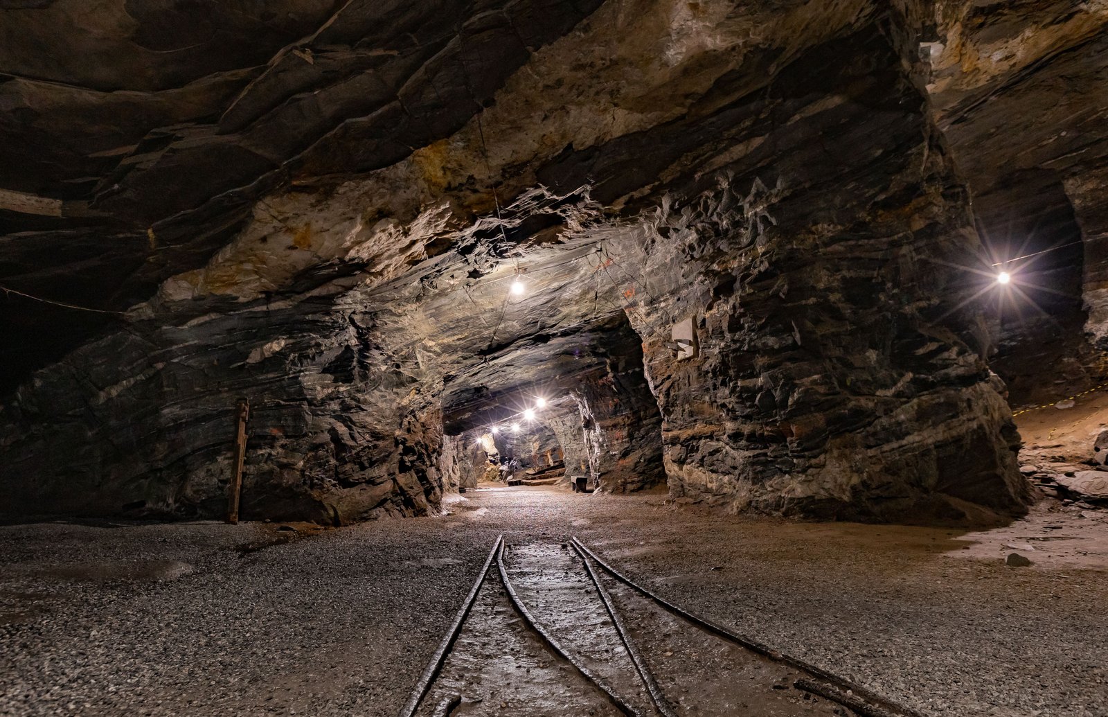
Destor Gold Corp holds claim 1071508 in Tisdale Township, immediately adjacent to the historic Timmins-Porcupine gold camp and directly within the regional structural framework of the Porcupine-Destor deformation zone.
Junior Dome is not designed as a large open pit play. At an effective footprint of roughly 12 hectares, it cannot be. Instead, the project is built around a specific, testable question, and the surface area is not treated as a limitation but as the design constraint that shapes every part of the technical program below.
A narrow but vertically extensive structure can represent a meaningful underground target even on a compact surface parcel, the same principle that underpins a number of historic high grade underground mines in this camp.
Schematic · Conceptual, not to exact scale
Illustrates why JD-01 and JD-02 are designed to establish true dip direction before deeper capital is deployed. A structure dipping toward the estimated western boundary at moderate angles can leave Destor's confirmed mineral rights within the first 200 to 300 meters of vertical depth.
02 The Investment Case
Six reasons this is a disciplined way to buy exposure to a proven camp
A Proven, Producing Camp
Timmins-Porcupine has produced more than 70 million ounces of gold since 1910, anchored by the Hollinger, McIntyre and Dome mines, and remains in active production over a century later. This describes the district's endowment, not a resource on Junior Dome itself, which remains undefined and untested.
A Confirmed, Untested Target
WS81-9 demonstrates the immediate structural and hydrothermal environment is auriferous. Junior Dome itself has never been drill tested. Genuine white space inside a camp this productive is rare.
100% Ownership
Destor Gold Corp holds claim 1071508 outright. No joint venture carve out and no earn in structure sits between a discovery and full investor exposure to it.
Capital Efficient by Design
The property's compact ~12 ha footprint means full coverage mapping and geophysics can be completed in weeks, not months, compressing the usual junior exploration timeline to a first drill ready target.
Downside Managed by Design
Capital is staged and gated rather than committed all at once. $1.5M funds a complete Phase I answer to the core geological question, not a speculative down payment on a much larger program.
The Precedent Is High Grade
The Hollinger, McIntyre and Coniaurum trend along this same structural corridor has produced at an average grade of approximately 7.7 grams per tonne. Underground, high grade orogenic gold is a proven economic model in this exact geological setting, not an unproven one.
03 The Evidence Base
A documented, auriferous structural environment on the property's doorstep
Verified · Ontario Mineral Inventory
DDH WS81-9 (1981)
Rosario-Dupont joint venture drill hole, located approximately 485 meters east-southeast of Junior Dome. Intersected 0.015 oz per ton Au over 1 foot in a quartz vein, in a host environment of andesite, quartz-feldspar porphyry, shearing and pyrite.
Supported Interpretation
A repeatedly revisited occurrence
The same occurrence has a documented history extending back to 1938 as the McDougall-Porcupine Gold Mines property, and was revisited as recently as 2007 by ValGold Resources, indicating sustained industry interest across multiple exploration cycles.
Supported Interpretation · 1977 Assessment
A coincident magnetic and EM signature
Historical work on adjacent ground documented a magnetic anomaly interpreted as pyrrhotite and or magnetite, coincident with an electromagnetic conductor, and carbonate alteration interpreted to lie near the Porcupine-Destor Fault trend.
None of this constitutes a tested resource on Junior Dome itself. It constitutes a documented, auriferous structural and hydrothermal environment on the property's doorstep that has not yet been drill tested beneath the Junior Dome claim specifically. That gap is the exploration opportunity, and closing it, honestly and in stages, is the entire purpose of the program below.
Schematic · Conceptual, not surveyed geometry
Target A sits nearest the estimated west boundary and carries the higher geometric risk; Target B sits further into confirmed retained ground. Final target positions await digitized patent geometry, handled separately from this program.
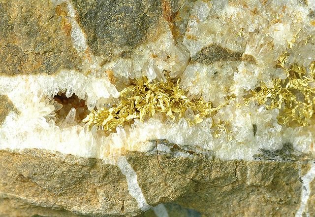
Representative specimen
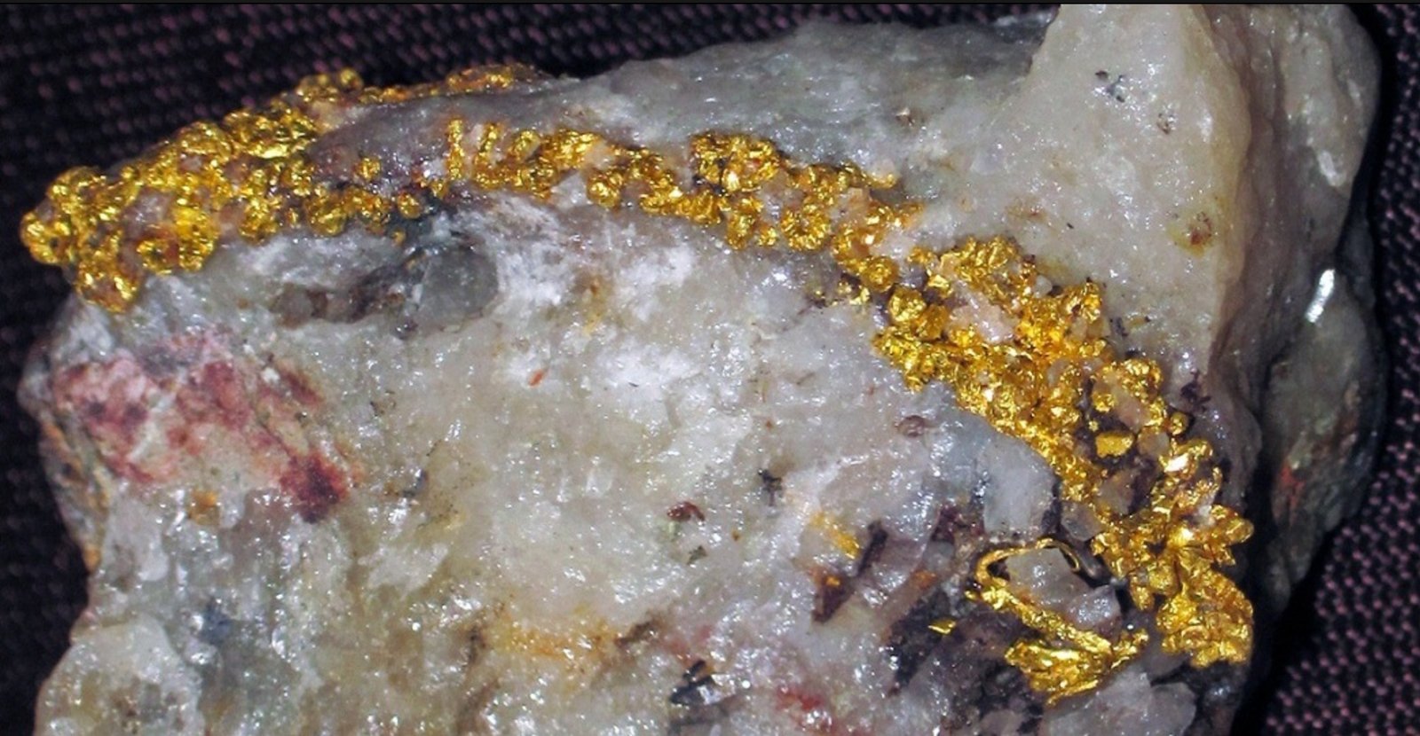
Representative specimen
04 A Staged, Gated Technical Program
Capital is not committed to deeper work until each phase earns it
01
Mapping and Prospecting
Full property coverage geological mapping at 1:1,000 scale, priority tiered sampling of sheared and altered rock, intrusive contacts and vein systems, run on the same 25 meter grid as the geophysics program below.
02
High Resolution Geophysics
Ground magnetics (total field plus first vertical derivative) and IP or resistivity survey at 25 meter line spacing, scaled to the property's compact size rather than a regional reconnaissance grid. Targets are ranked by coincidence of evidence, never by anomaly strength alone.
03
Phase I Diamond Drilling
Approximately 1,500 meters across four holes. JD-01 and JD-02 are specifically designed to establish true dip direction early, the single variable that determines whether a structure stays within Destor's mineral rights at depth, before any deeper capital is deployed.
04
Contingent Phase II
Approximately 3,000 to 5,000 meters testing strike and down dip continuity and higher grade shoots. Funded only once Phase I results support it, and only after dip direction is confirmed safe relative to the property boundary.
05 Use of Funds
Phase I financing request: CAD $1,500,000
Sized to prove or disprove the thesis and establish safe structural geometry, not to fund a deep vertical test outright. A contingent Phase II follows only once Phase I results warrant it.
| Line Item | Amount (CAD) | % |
|---|---|---|
| Technical program management & QP oversight | $95,000 | 6.3% |
| Aboriginal relations | $30,000 | 2.0% |
| Grid establishment (line cutting) | $50,000 | 3.3% |
| Surface geological mapping and prospecting | $85,000 | 5.7% |
| Surface geochemical sampling and assay | $45,000 | 3.0% |
| Ground magnetics survey | $60,000 | 4.0% |
| Ground IP / resistivity survey | $150,000 | 10.0% |
| Geophysical data processing and interpretation | $40,000 | 2.7% |
| Phase I diamond drilling (approx. 1,500 m) | $700,000 | 46.7% |
| Drill core assay and sample prep | $35,000 | 2.3% |
| Environmental / permitting | $30,000 | 2.0% |
| Contingency | $180,000 | 12.0% |
| Total | $1,500,000 | 100% |
06 Risk, Stated Directly
A compact property carries a specific geometric risk, and the program is built to answer it early
If the mineralized structure dips steeply enough toward the property's shorter, more constrained boundary, it can exit Destor's mineral rights at relatively shallow depth. This is a manageable risk with the right sequencing, not a reason to skip the sequencing.
JD-01 and JD-02, the first two holes of Phase I, are specifically oriented to establish true dip direction before any deeper capital is deployed. If dip direction trends unfavorably, the program is designed to stop and redesign collar positions further into confirmed retained ground rather than proceed.
Decision Gate
Phase II financing is not sought, and deeper drilling is not collared, until Phase I confirms both a coherent, auriferous structure and a dip direction that keeps the target within Destor's confirmed mineral rights.
Get In Touch
A small footprint bet on a specific, well defined geological question, in a historically productive Ontario gold camp
Discovery success is defined narrowly and honestly: a predictable, gold bearing structure with sufficient grade and true width to support underground development from within Destor's confirmed mineral rights.
302 Bay Street, Toronto, ON M5H 0B6
invest@destorgold.com
invest@destorgold.com
Figures marked approximate or conceptual pending final digitization of mineral rights boundaries. Historical assay results are not indicative of a defined resource.